Gay, 2892 ; Quérard, II, 721 ; Pritzel, 2547 (only the 8vo édition of the text); not in Nissen, BBI.
First edition. A copy of the deluxe edition with the text printed in large format in-4.
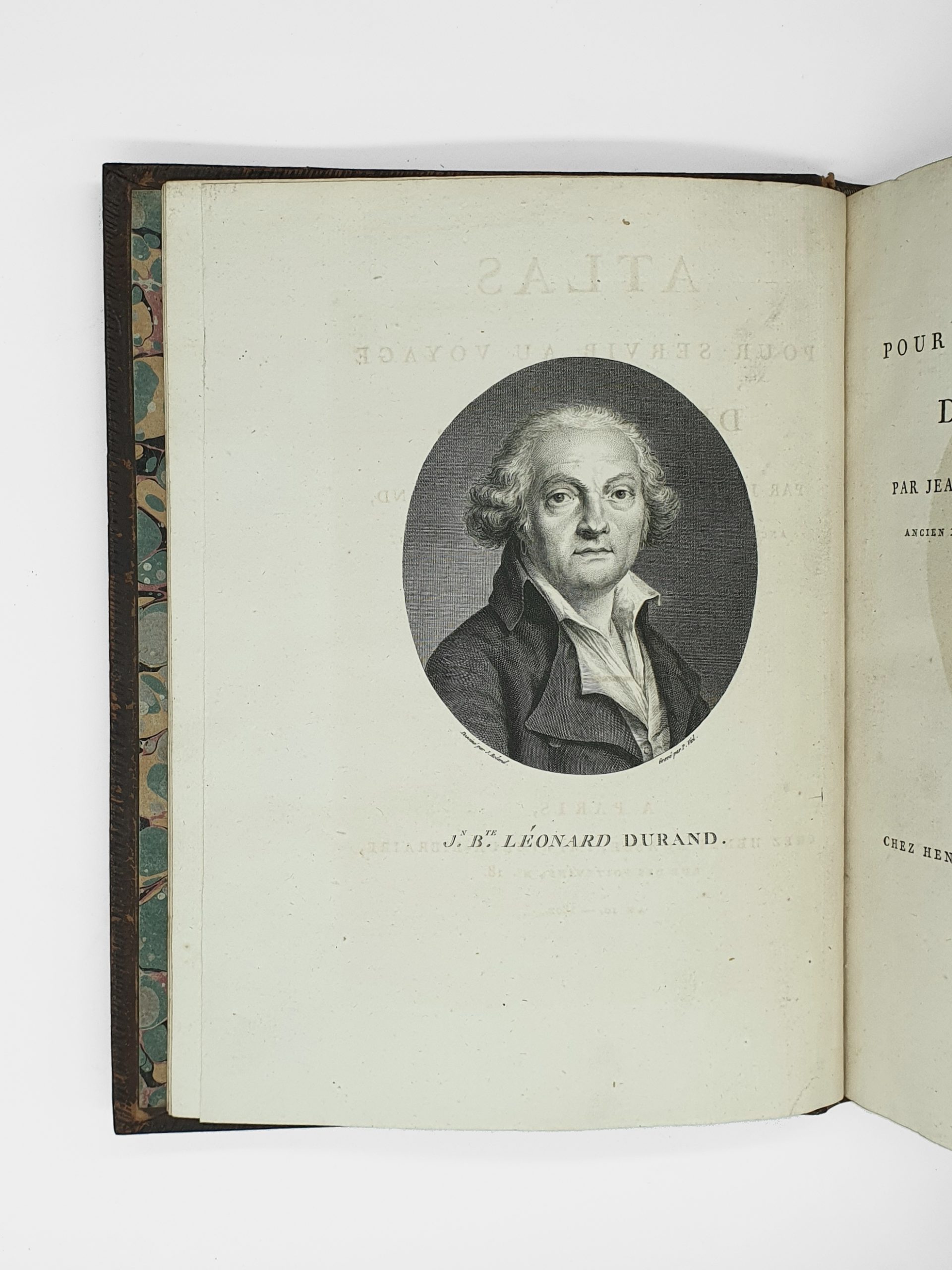
An important work for the history of colonial trade with Africa. Durand (1742-1812), a lawyer at the Bordeaux parliament and then an employee of the Ministry of the Navy, was sent to Senegal in 1785 as an administrator. The trade in gum, ivory and captives was flourishing at the time, and Durand entered into a number of agreements with the Moorish princes on the shores of Senegal to ensure their transport.
The text offers a history and description of the regions visited and the French settlements, followed by interesting observations made during a voyage to Galam, an ancient kingdom of Senegal close to the country of the Peuls and Mandingues.
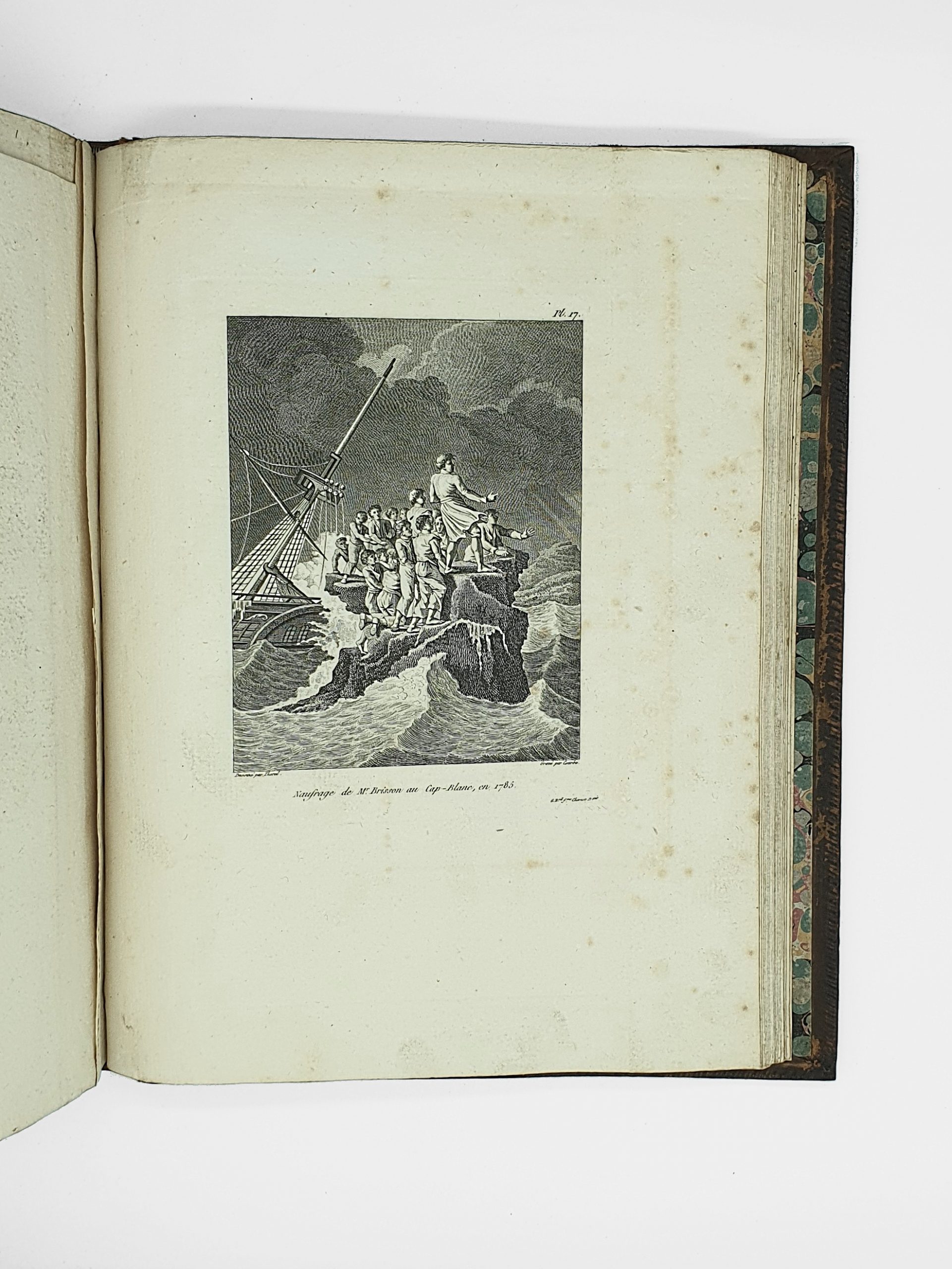
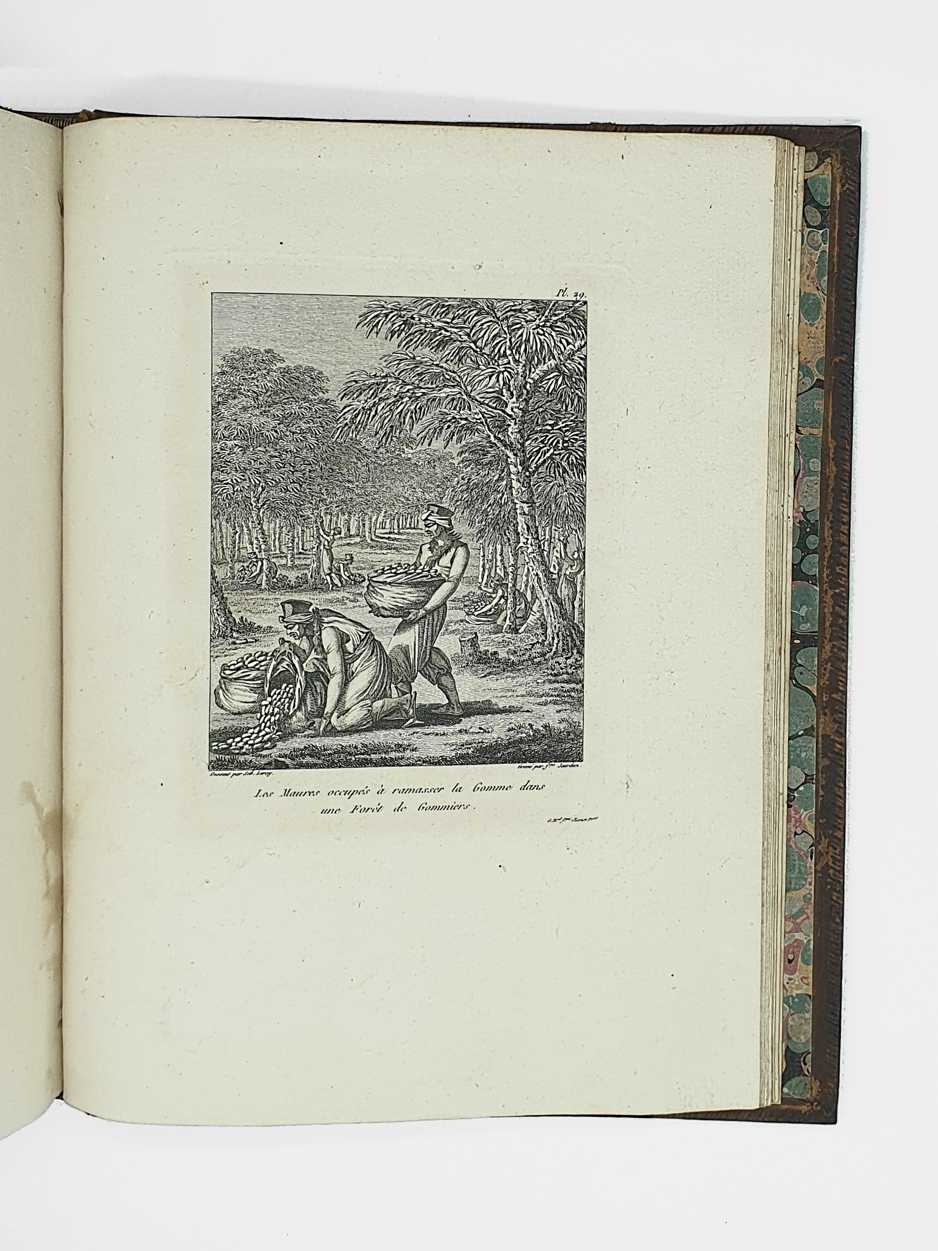
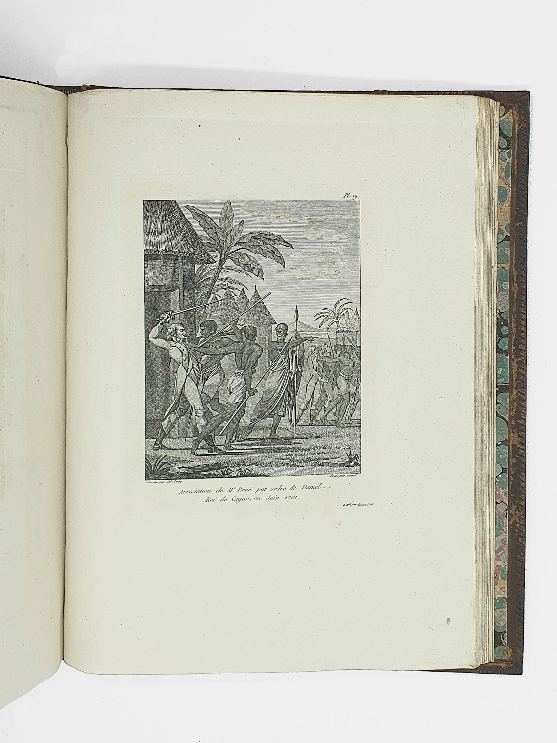
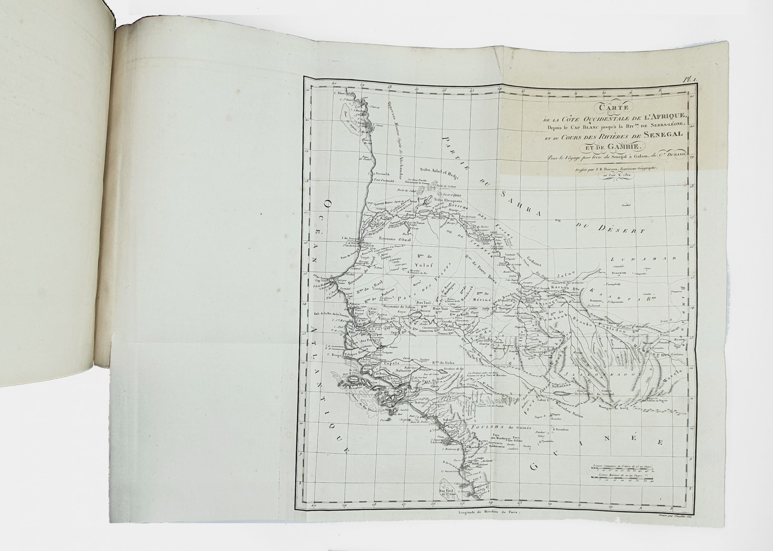
The atlas contains a total of 43 plates, including 16 maps, drawn up on the basis of manuscripts held by the French Navy and sent to the author by special order from Bonaparte. The first general map shows the west coast of Africa; the next 15 give details of the west coast (6 sheets), the course of the Senegal (4 sheets), the island of Gorée (1 sheet), and detailed plans of rivers, towns and mouths (4 sheets: Senegal, Île St Louis, Serra Leone, and Gambia). The other 27 steel-engraved plates are of scientific interest or contain picturesque details (Brisson and Durand shipwrecks, customs and habits of the natives, fauna, flora, etc.).
The text of the atlas also reproduces three commercial treaties, in French and Arabic.
Scattered foxing; joints rubbed, minor restorations to the spine and corners of the atlas.
A pleasant copy in uniform binding.