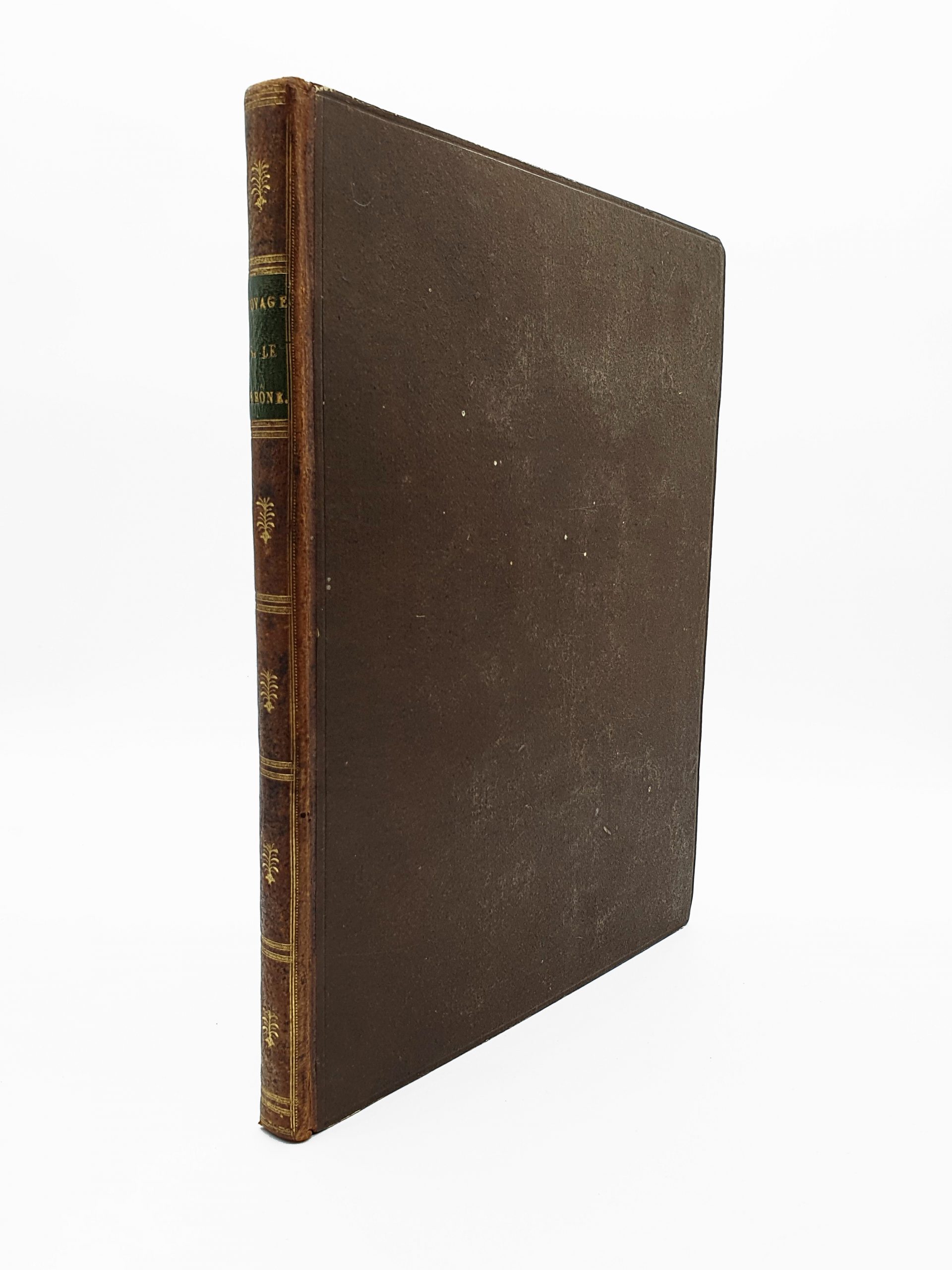
BOISSEL DE MONVILLE Thomas-Charles-Gaston Voyage pittoresque et navigation exécutée sur une partie du Rhône, réputée non navigable. Moyens de rendre ce trajet utile au commerce.
VENDU
Paris, chez Du Pont, 1795
4to (257 x 198 mm) 2 nn.l., 155 pp., 1 map and 17 engraved plates (most of them folding). Contemporary half calf, flat spine gilt, marbled edges.
First edition, printed by the famous French economist Dupont de Nemours, journalist, politician, diplomat and entrepreneur, father of the physiocrat movement under the Ancien Régime.
Thomas-Charles Gaston Boissel de Monville (1764-1832), a peer of France and a member of the Paris parliament in 1785, wrote two works on inland navigation, the first of which was Voyage pittoresque (the next, published in 1817, was devoted to the legislation of river navigation). In it, he studied the navigability of the Rhône from Geneva to Seyssel (Haute-Savoie).
“The Rhône, the fastest river in the world, is nevertheless one of the most commercial”.
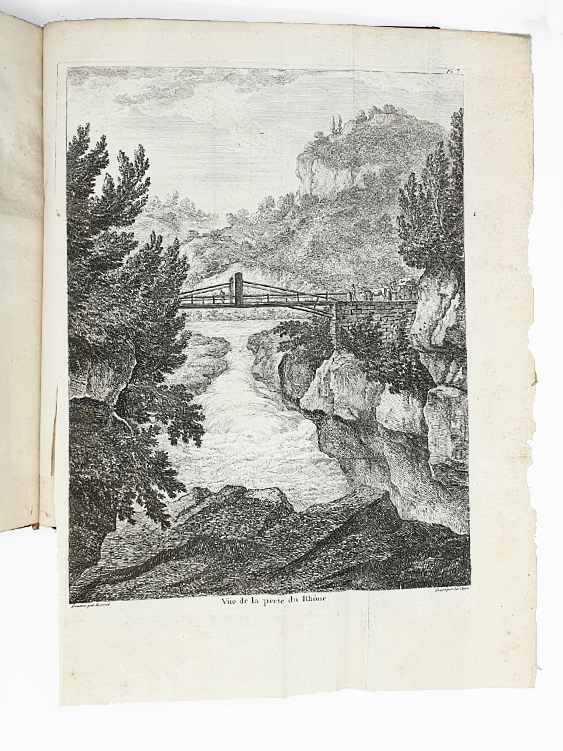
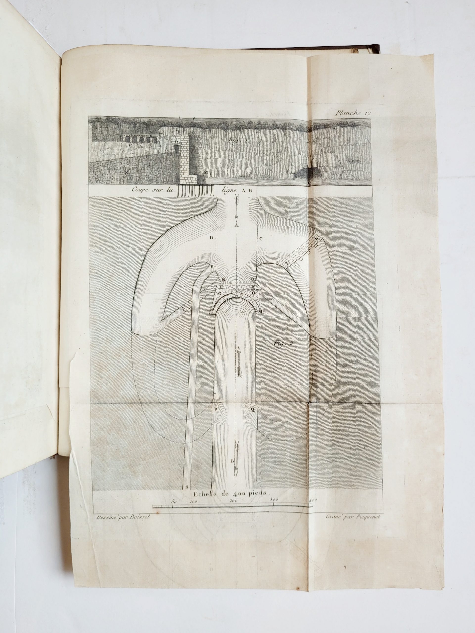
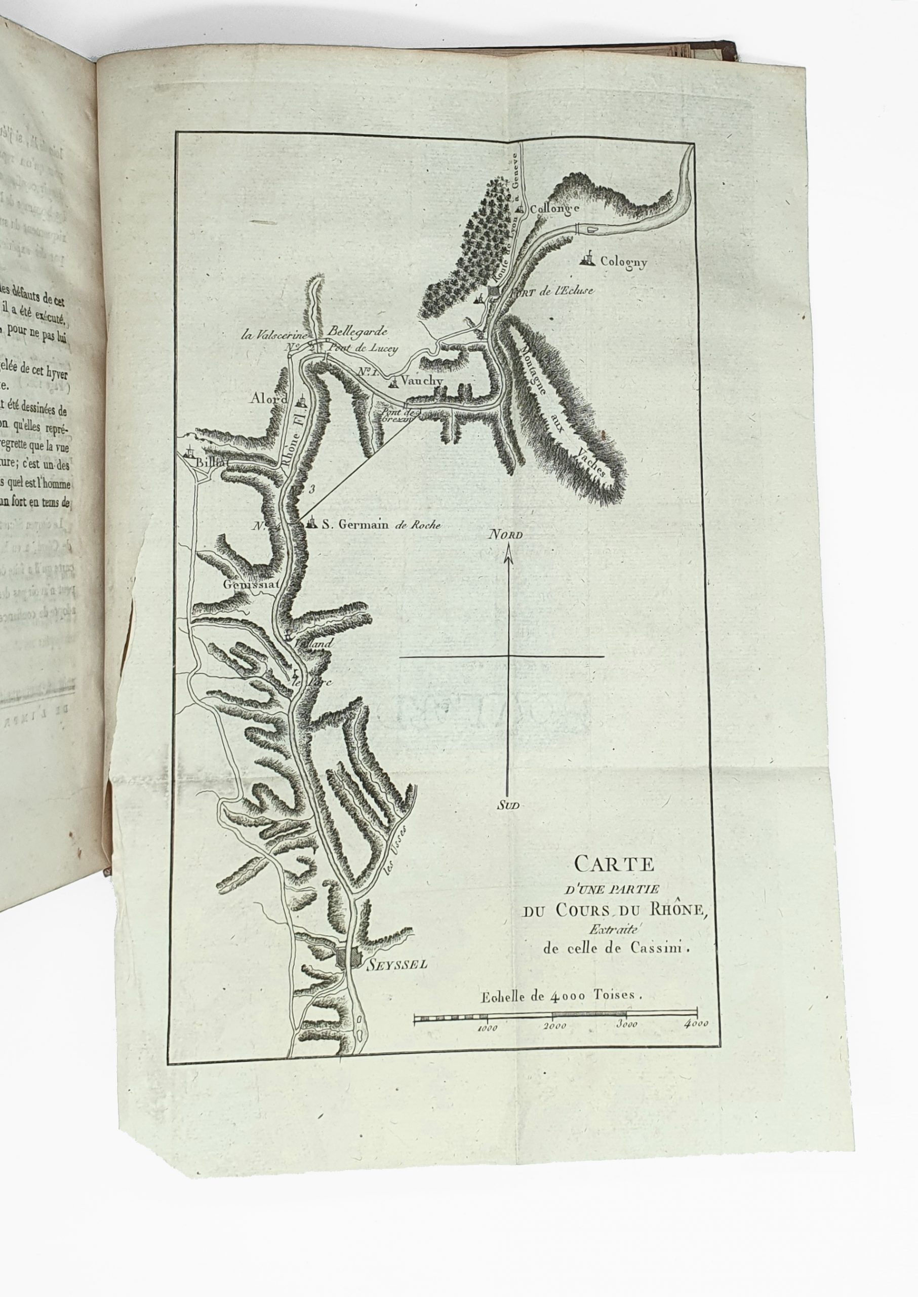
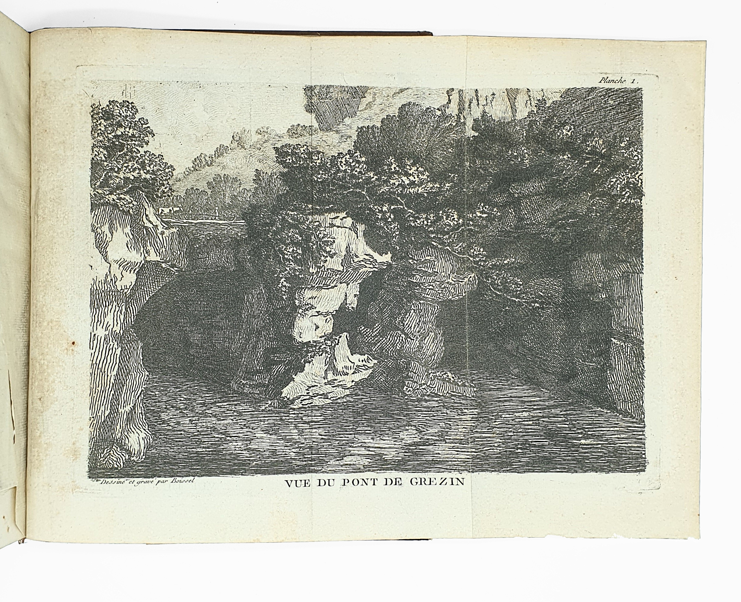
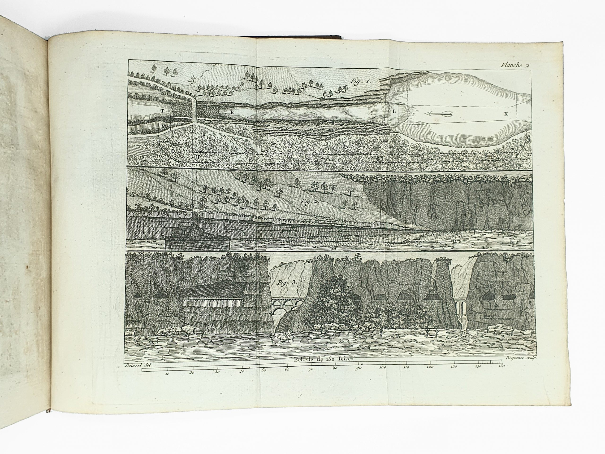
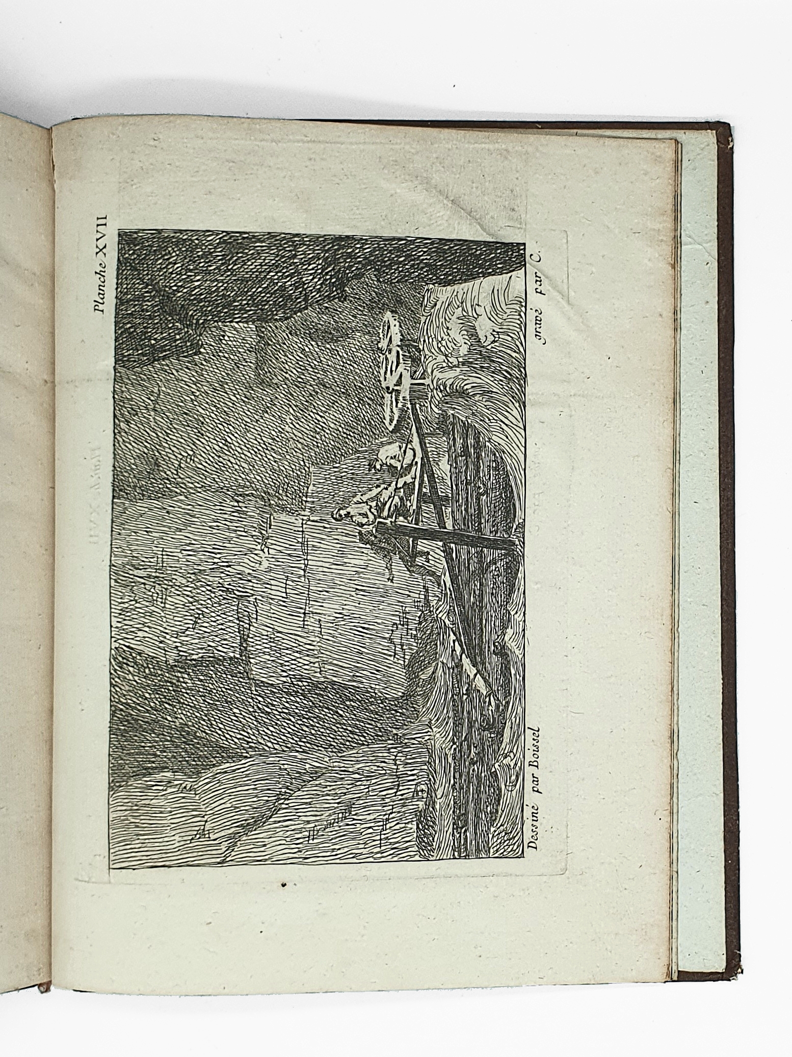
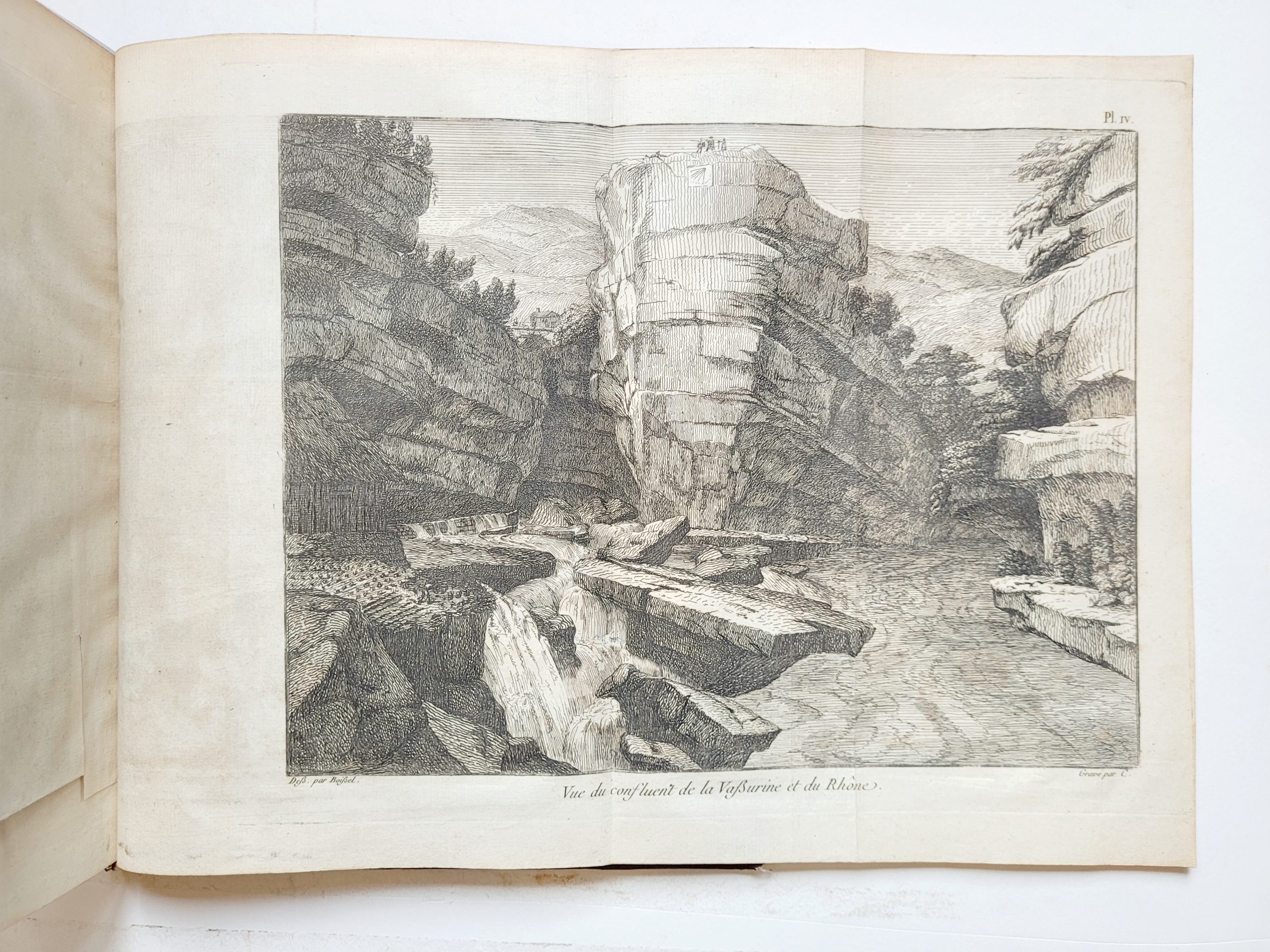
To make navigation possible, Boissel de Monville carried out detailed surveys and proposed improvements to the river’s course. He used a series of beautiful engraved plates to illustrate his points. The author himself travelled down the Rhône from Fort l’Écluse to Génissiat to prove that the river was definitely navigable. The fold-out map showing part of the course of the Rhône is based on the one given by the famous cartographer Cassini. The following 17 plates, engraved from the author’s drawings by Picquenot and other artists, illustrate bridges, waterways with shoreline and bank surveys, details of dam construction and picturesque views.
“During the revolution he took the name of Roturier de Boissel, invented a new scythe for sawing wheat and perfected windmills” (Grand Larousse).