Sabin, 38558 ; Gagnon, 1905 ; Borba de Moraes, I, 451 ; Burden, The Mapping of North America, I ; Leclerc, 811 ; J. C. B., t. II, p. 283 ; Tiele, 629, p. 142 ; Willems, 497.
A rare and highly sought-after first French edition of one of the finest descriptions of the American continent published in the seventeenth century.
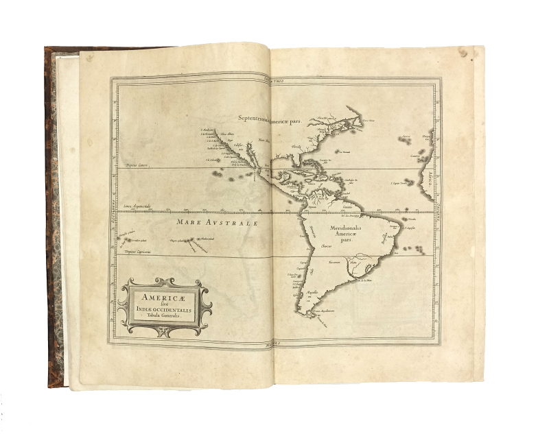
This important compilation is devoted to the geography and natural history of America. This edition is considerably expanded compared with previous editions in Dutch and Latin. The maps feature the earliest depictions of Canada, show California as a peninsula rather than an island, and mark the first appearance of the names ‘Manhattan’, ‘New Amsterdam’ (now New York) and ‘Massachusetts’.
“It is also the earliest to use the Dutch names of Noordt Rivier and Zuyd Rivier, for the Hudson and Delaware Rivers respectively, as well as the Indian Massachusets, for the new English colony … [the ‘Nova Francia’ map] is one of the foundation maps of Canada” Streeter.
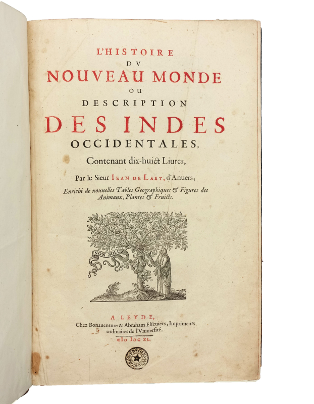
En tant que l’un des 19 directeurs de la Compagnie néerlandaise des Indes occidentales, Johannes de Laet (1581-1649) avait accès aux informations les plus récentes sur l’Amérique grâce aux marchands de retour de leurs expéditions. La première édition de son Histoire du Nouveau Monde fut publiée en néerlandais en 1625 sous le titre Nieuwe Wereldt ofte Beschrijvinghe van West-Indien, puis progressivement enrichie au cours des éditions suivantes (la deuxième édition néerlandaise de 1630, l’édition latine de 1633 et la présente édition française).
« This French translation of Laet contains many materials not to be found in the original Dutch, chiefly vocabularies of Indian tribes » (Sabin).
The text combines observations on natural history and geography with notes on the character and customs of the Native Americans. De Laet drew his information from the archives of the Dutch West India Company, his personal correspondence and the finest published accounts, notably those of Herrera, Zarate, Acosta, Pierre Martyr and Ramusio, for the languages of New France, and Jean de Léry’s account, for the section on Brazil. New features in this French edition include glossaries of Native American tribes, a commentary on Bahia, and accounts of the conquest of Olinda, Itamaraca, Parahiba and Rio Grande do Norte. The edition has also corrected and updated much of the botanical information.
“From a scholarly point of view this French translation is the best edition, and for Brazilian studies the additions we have specified above [viz. the sacking of Bahia and the conquest of Olinda etc.] make it an indispensable work.” Borba de Moraes.
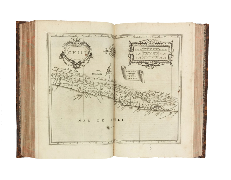
The 14 maps depict the American continent, Cuba and the West Indies, Acadia, New England, Virginia, Florida, New Spain and Guatemala, the Kingdom of New Granada, Peru, Chile, the Strait of Magellan, Paraguay, Brazil, Guyana and Venezuela. The maps of the continent and New Spain provide the most accurate depictions of the west coast to date, with California shown as a peninsula (following Herrera’s example). De Laet avoided the debate over the location of the Northwest Passage by ending the maps before reaching those latitudes. The set was engraved by Hessel Gerritsz (1581–1632), an apprentice of Blaeu and official cartographer of the Dutch East India Company from 1617 onwards.
“The maps were some of the first to depart from the heavier style of the Mercator and Ortelius period. This more open style of engraving was one that both Blaeu and Janssonius would use in their atlases” (Burden).
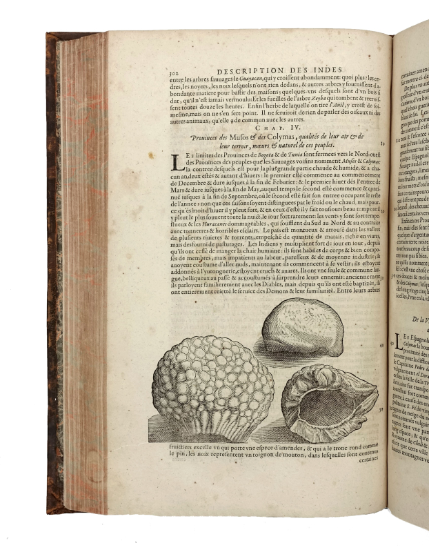
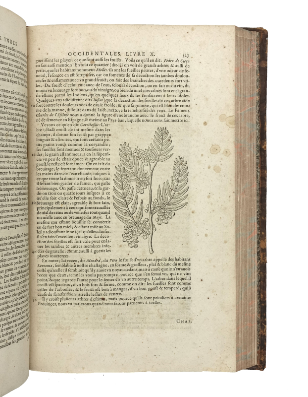
The volume is also illustrated with 64 wood-engraved plates within the text, depicting costumes, plants and animals.
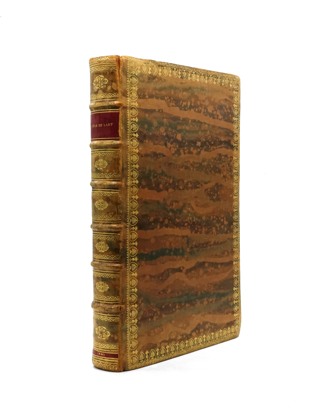
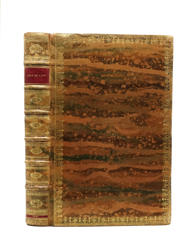
A few foxing spots on some leaves and maps; the lower corner of the margin on page 105 is torn away, resulting in the loss of a letter from the running title; very slight marginal water-stain on the final pages, but a fine copy of this book, which is of great importance to the history of America.