Atabey, 475 ; Brunet II, 1473 ; Colas, 1172 ; Lipperheide, Kaa 45.
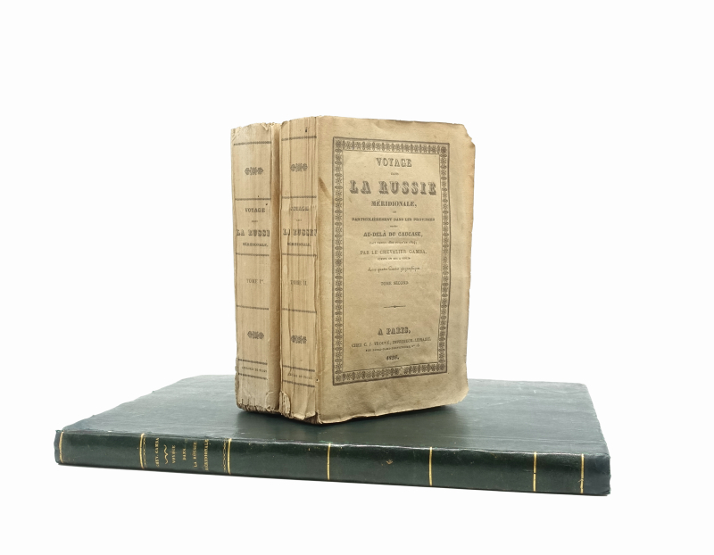
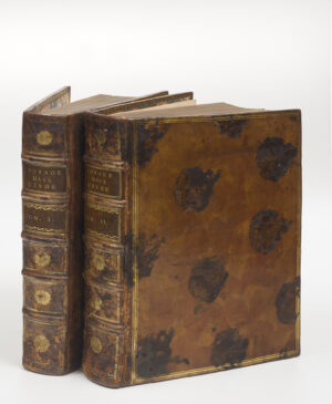
First edition of both text and atlas which were sold separately at the time of publishing.
Jacques François Gamba (1763-1833) made two trips to Russia, the first in 1817 on the orders of the Duc de Richelieu, former governor of Odessa, and became consul in Tiflis in 1823. Gamba returned to France in 1818, and left again for a second time in 1819. Taking advantage of the relaxation of Russian embargoes in the Transcaucasus regions, he developed new commercial relations for the French government. The Russian High Commissioner for the Caucasus, Aleksei Petrovich Yermolov, favoured him; Tsar Alexander I granted him over 60 square miles of land and forests in the Imereti region and supported his research and entrepreneurial spirit. Gamba truly fell in love with his new land and paid tribute to the beauty of the Kutaisi district (see Vol. I, 240).
Gamba’s predecessors explored the borders of the Caucasus, approaching it from the sea, either from the Greek side or the Persian side, but did not really seek to cross into the heart of the region (unless forced to do so, like Jan Struys, who was enslaved in Dagestan and left brief accounts of Shamakhi and Tbilisi (then in Persia).
Gamba’s work was the first to discover territories other than the Crimea and Circassia, and gave a detailed account of the North and South Caucasus, including Mozdok and Vladikavkaz: he was one of the first travellers to benefit from the Georgian military route, completed under the direction of Yermolov in 1817. He began with the Crimean outposts mentioned by his predecessors, Pallas, Guthrie, Reuilly and Clarke in particular (Kerch, Kuban, Circassian border), then moved on to regions that had been little explored at the time: Kutaisi, Racha in Imereti, Akhalzik, Mont Elbrus, Mozdok, Telavi, as well as the lands along the Persian border (Elizabetpol, the Khanate of Shirvan).
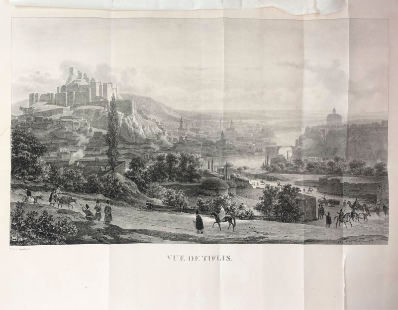
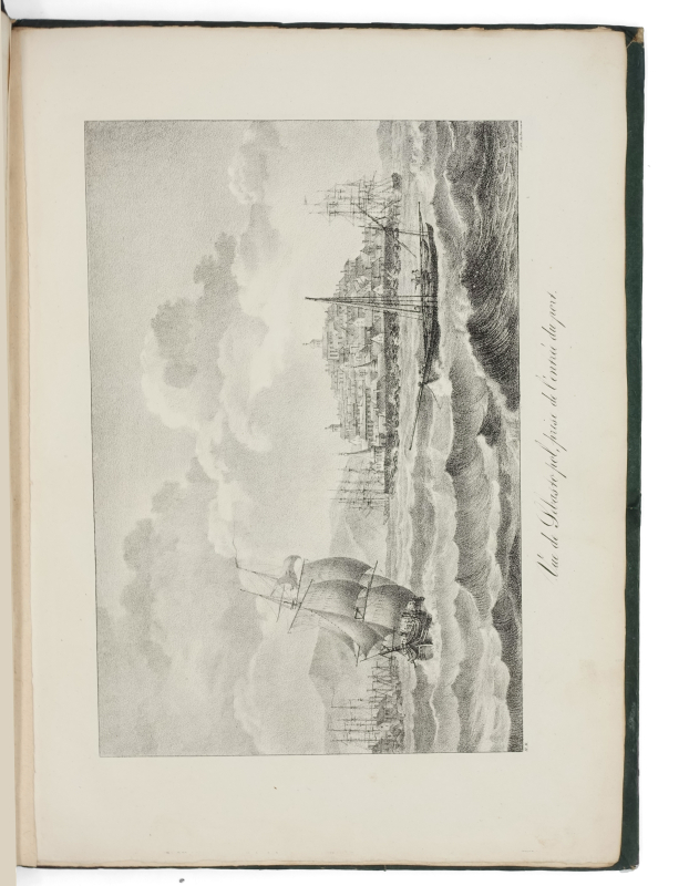
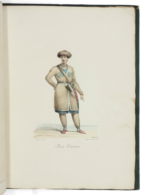
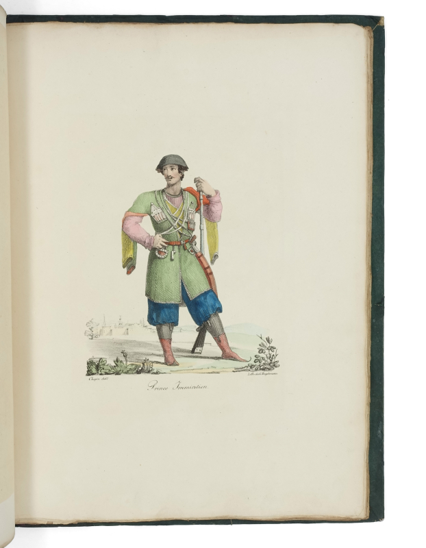
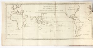
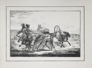
Gamba’s account of the Voyage dans la Russie méridionale was the first to show large views of the region, remarkable for their quality and quantity – in particular the magnificent famous large lihtographed view of Tbilisi, the first of its kind. The other fine plates illustrate the shores of the Black Sea and the Caucasus and include natural history subjects, views and, for the most part, indigenous peoples in hand-coloured lithographs. The text contains 4 detailed maps, one of which is partially coloured. The following maps are included General Map of the Country between the Black and Caspian Seas; Map of the System of the Course of the Rhion, or Phase; Map of the Caspian Sea engraved after that of Golenichtcheff Koutouzoff; Map with the Gulfs of Astrabat, Baku, Balkhan, and Zinzilinsk.
The account itself is wide-ranging, well-documented and analytical. It offers an important European perspective on the formerly closed provinces of the Caucasus, on the brink of Russian colonisation.
“Gamba made two voyages to Russia, that of 1817 at the order of the Duc de Richelieu. He was consul at Tiflis in 1823” (Atabey).
4 plates (18, 58-60) bound in disorder; occasional foxing. Copies complete with both text and atlas are rare.